INFRASTRUCTURE & TRANSPORTATION
- SCROLL DOWN TO VIEW AND PARTICIPATE IN THE INFRASTRUCTURE & TRANSPORTATION MODULE -
PURPOSE
- Provide the community with information on infrastructure and transportation issues on the North Shore
- Test solutions and “big ideas” for taking steps to improve infrastructure and transportation on the North Shore
View and Download the Infrastructure & Transportation Fact Sheet below:
Scroll through the StoryMap below to learn more.
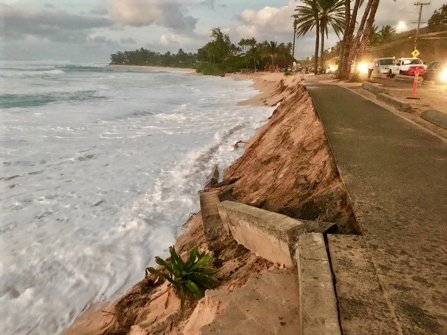
RETHINK TRANSPORTATION AND INFRASTRUCTURE ON THE NORTH SHORE: With 3.2 ft of sea level rise (SLR), an estimated 2.9 miles of coastal highway and 5.8 miles of County roads on the North Shore will be chronically inundated by the end of this century, potentially cutting off community access to basic amenities and impacting infrastructure along and under the roadway (see map of flooded roadways with 3.2 of SLR). While there may be opportunities to armor or elevate the highway, these measures may not provide long-term protection and can be detrimental to beaches and natural shorelines.
Long-term solutions may include relocating segments of vulnerable coastal highway inland, but achieving that could take decades. Decisions will need to be made about how to maintain access and infrastructure in the interim while managing traffic congestion and increasing the use of alternative forms of transportation. Moving to more distributed forms of infrastructure for water, wastewater treatment, and energy generation rather than relying on centralized ones can also make communities more resilient.

